Mekonggan Archipelago (meˈkoŋɡan ˌɑɹkəˈpɛləˌɡoʊ)
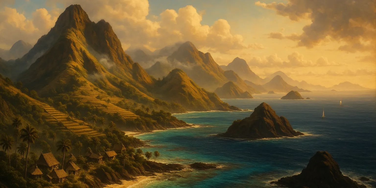
The Mekonggan Archipelago lies in the Southwestern Region of the Great Ring. It includes the haunted island of Lampuato and is the original home of the Mekongga people, who departed a century and a half ago to conquer the island of Lahat to the northwest. The archipelago also contains the large island of Bara, long divided between the Human kingdom of Tiwu in the west and the Phaṇin realm of Bara Karajan in the east.
Today, the archipelago stands at the heart of the war between the Tagápulo Empire and the Kingdom of Lahat. The Empire has seized the easternmost islands and forged an alliance with Bara Karajan against Tiwu and Lahat. Lahat retains control of the western islands, including Lampuato, but struggles to halt the Empire's advance. The conflict on Bara is currently the fiercest front, with both great powers backing their local allies. Whichever side prevails there will likely command the archipelago - and gain a decisive advantage in future naval wars between the Kingdom and the Empire.
Points of Interest
The cities of Kotepang and Jili are the largest settlements in the archipelago, serving as the capitals of Tiwu and Bara Karajan, respectively. Both have long histories as centers of trade within the Great Ring but have suffered greatly during the ongoing war. While many smaller towns and villages are scattered throughout the archipelago, none approach the size or significance of these two cities.
The island of Lampuato, though nominally under the control of the Kingdom of Lahat, is now almost entirely depopulated. Only a naval base and several prison camps - such as Desa Penjara - remain. The island is caught in a state of metaphysical collapse, its bound spirits and gods twisted into malevolent forms. Few dare to make harbor there, and only those versed in the Kosalo-based protocols of the Lahatian navy can do so with any measure of safety.
Geography
The Mekonggan Archipelago consists of more than nine hundred islands, most of them small and of little significance. The largest is Bara, which accounts for just over half of the archipelago's total land area. Nearly another third is taken up by the second-largest island, Lampuato. The remaining major islands - Wala, Remad, and Serunda - lie along the eastern edge of the archipelago.
The major islands of the Mekonggan Archipelago (sorted by size)
This table includes all those islands in the group with an area greater than one hundred square miles.| Name | Area (sq mi) | Coordinates |
|---|---|---|
| Bara | 11,883 | 23.56° North, 51.6° West |
| Lampuato | 7,617 | 23.77° North, 55.04° West |
| Wala | 1,624.03 | 22.13° North, 50.23° West |
| Naril | 324.81 | 22.34° North, 48.53° West |
| Remad | 301.42 | 22.79° North, 47.92° West |
| Serunda | 108.51 | 23.63° North, 46.53° West |
Geographic Details
Location: Southwestern RegionLatitude: 23.28 degrees North
Longitude: 51.31 degrees West
Average Elevation: 292 ft
Highest Point: 9,720 ft (Gunung Tatama)
Lowest Point: -3 ft
Area: 23,464.92 sq mi
Related Articles
This article was originally written for Spooktober 2024. You can find all of my Spooktober Articles at Spooktober Central.
This article was originally written for Spooktober 2023. You can find all of my Spooktober Articles at Spooktober Central.

Comments