Kapuluan (ka.pu.luˈʔan)
"First we claimed Pulo, as was our right. Then, we naturally spread throughout Kapuluan, for who else could rule? Now, we look farther afield, as our cup is not yet full."
Kapuluan is the largest archipelago in the Southwestern Region, and the heart of the Tagápulo Empire. It is dominated by the large island of Pulo, the ninth largest island in the Great Ring. Over the last two centuries, all the islands within Kapuluan have become a part of the Tagápulo Empire, which is now using the archipelago as a foundation to expand across the Southwestern Region.
Points of Interest
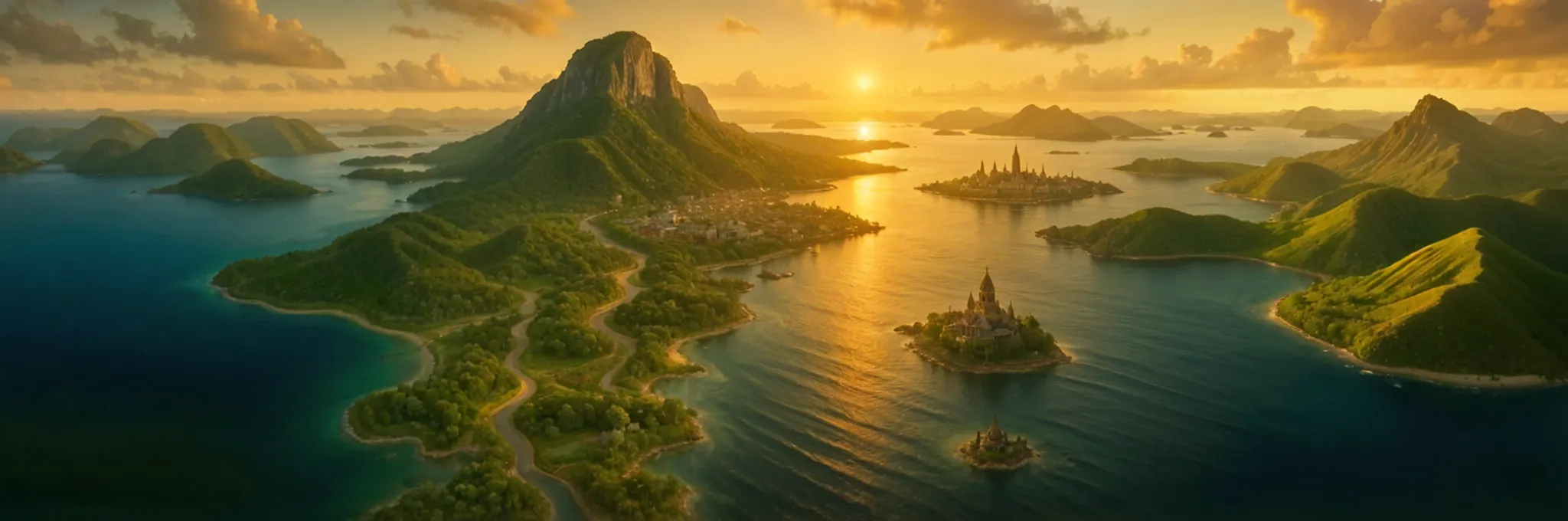
The largest city in Kapuluan is Mynilad, capital of the Tagápulo Empire. It is on the spectacular Bay of Mynilad, which itself contains several small islands. The most notable of these is Lumai, where the worship of the god Luek is based. The Pangdambana ni Luek on Lumai is known for its exquisite carvings, and for being an irritant in the very eye of the Empire.
On the island of Balugo is the Parola Tultulan, a lighthouse whose god is dedicated to the ideals of welcoming and hospitality. The light of the Parola Tultulan is the first thing sailors approaching from the Southern Region will see to let them know that the long journey from the Mangimoi Archipelago is nearly over - save for a few islets, crossing from the Mangimoi to Kapuluan is over nine hundred miles of open sea.
Geography
Kapuluan is an enormous archipelago, with over seven thousand islands. Most of these are tiny and uninhabited, or have very small or part-time populations. Some of them are only above water during low tides, while others are said to wander from place to place. The thirteen largest islands in the group make up nearly eighty percent of the archipelago's land mass, with the island of Pulo accounting for more than half of the archipelago by itself. Kapuluan spans over 1100 miles from north to south, and about 740 miles from east to west.
The major islands of Kapuluan (sorted by size)
This table includes all those islands in the group with an area greater than one hundred square miles.| Name | Area (sq mi) | Coordinates |
|---|---|---|
| Pulo | 42,458 | 16.56° North, 27.01° West |
| Nipa | 5,687.93 | 17.45° North, 29.78° West |
| Lantak | 5,656.29 | 10.56° North, 29.18° West |
| Duhan | 4,081.8 | 13.48° North, 26.92° West |
| Balugo | 1,262 | 12.86° North, 24.51° West |
| Dalakit | 576.13 | 14.36° North, 23.76° West |
| Alitaya | 367.79 | 13.96° North, 26.04° West |
| Kuyab | 340 | 12.70° North, 27.92° West |
| Kabkay | 324 | 12.96° North, 25.95° West |
| Humalik | 242.8 | 14.5° North, 28.22° West |
| Dagkut | 192.89 | 12.45° North, 27.99° West |
| Tunyag | 172 | 12.96° North, 25.45° West |
| Sambalot | 129 | 13.08° North, 24.32° West |
Geographic Details
Location: Southwestern RegionLatitude: 14.65 degrees North
Longitude: 26.67 degrees West
Average Elevation: 108 ft
Highest Point: 9,035 ft (Tanyongbundok)
Lowest Point: -10 ft
Area: 78,174 sq mi
Related Articles
This article was originally written for Spooktober 2024. You can find all of my Spooktober Articles at Spooktober Central.
This article was originally written for Spooktober 2023. You can find all of my Spooktober Articles at Spooktober Central.

I'm very intrigued by the idea of wandering islands.
Explore Etrea | WorldEmber 2025
I'll have to include more details! There are few ways that islands move around, but these aren't giant turtles or floating forests...