Paminta Archipelago
The Paminta Archipelago is a group of seventeen islands in the Southwestern Region. Historically, the archipelago has been known for the high quality of its spices, but ten years ago it was conquered by the Tagápulo Empire, and its agricultural base has yet to recover. The Empire's interest in the Paminta Archipelago stems from its strategic location: it lies roughly halfway between Kanluranan and the Mekonggan Archipelago, providing an important harbor for ships traveling through the region. When the native Puluna people refused to become a protectorate of the Empire or allow their ports to be used for imperial warships, the Empire launched a brutal campaign that overwhelmed the local population in a matter of weeks. Today, the survivors of the Puluna mostly remain in hiding and have begun conducting a guerrilla war to harass the invaders; however, their numbers have been so drastically reduced by the slaughter that they have little impact and are treated as a mere nuisance by the Tagápulo.
Points of Interest
Since the invasion, the Empire has rebuilt only one major harbor for merchant vessels, keeping the rest of the archipelago under strict military control. This port, called Lambé, was the largest settlement on Paminta before the Tagápulo arrived; now it is the only settlement of note in the archipelago. Many of the original buildings were burned during the invasion and have since been replaced, with only the great temple to Waina, made of stone, remaining to commemorate the town's original builders. The bay at Lambé is deep and sheltered from ocean storms, making it invaluable to the Empire's continuing push to dominate the Southwestern Region.
Geography
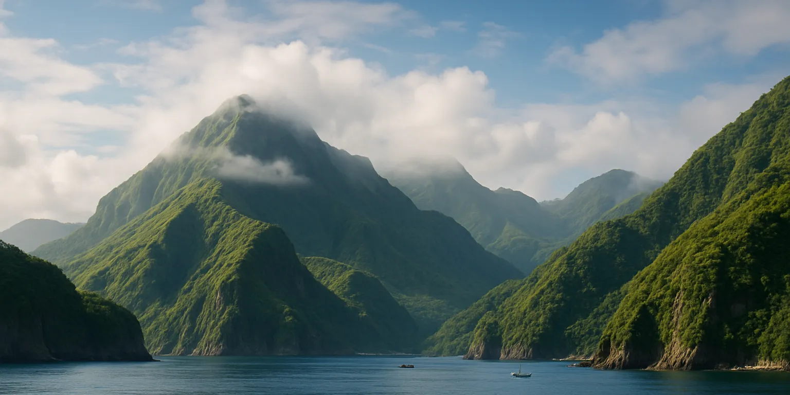
There are seventeen islands in the Paminta Archipelago, but only two are larger than one hundred square miles. The remainder are tiny and either uninhabited or home only to temporary villages. Most of the islands are steep and rocky, and many have limited sources of fresh water. The archipelago is volcanic in origin and prone to earthquakes. The island of Paminta comprises over sixty percent of the archipelago’s total landmass and has traditionally housed more than eighty percent of its population.
Geographic Details
Location: Southwestern RegionLatitude: 22.57 degrees North
Longitude: 42.99 degrees West
Average Elevation: 341 ft
Highest Point: 4,669 ft (Lina Muna)
Lowest Point: 0 ft
Area: 1,344.12 sq mi
This article was originally written for Spooktober 2024. You can find all of my Spooktober Articles at Spooktober Central.
This article was originally written for Spooktober 2023. You can find all of my Spooktober Articles at Spooktober Central.

Comments