Ordelvaine River
Pronunciation: OR-del-vain
Map Index: B-5, C-5
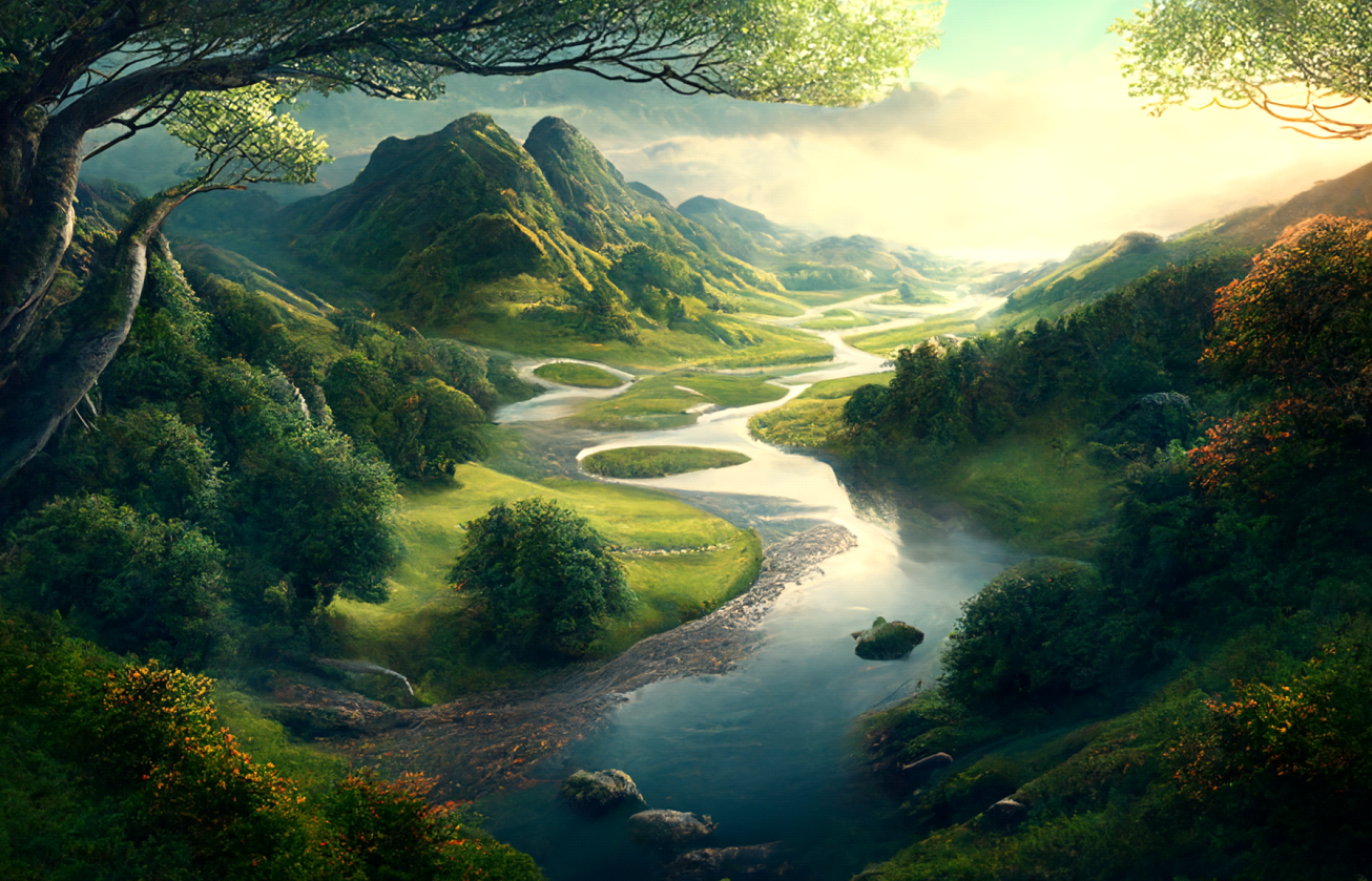
Location: Central Aorlan. The Ordelvaine River originates in the Carakoros Range, where the summer snowmelt feeds its headwaters. These headwaters, characterized by steep terrain and dwarf spruce trees, witnesses the convergence of numerous small streams that form the river. As the river flows downstream, the mountainous, wilderness landscape gradually transforms into foothills, adorned with spruce forests and small grassy meadows. Further along its course, the east bank of the river marks the western boundary of the ancient Dreadthorn Forest, Gorereg Taur, notorious for its hostility towards humans. Farther downriver, civilization finally begins to emerge as a series of fortified towns, part of the Kingdom of Arnheim, line the western riverbank. The walled town of Khelorn becomes a pivotal point where the Ordelvaine River widens, welcoming the smaller Medelvaine River from the west. The journey culminates near the city of Skora, where the Ordelvaine merges with the mighty Arn River, concluding its diverse and captivating course.
Physical Characteristics: The upper reaches of the Ordalvaine River, filled with treacherous rapids and waterfalls, precludes the use of any boats. Farther downriver, the river contains stretches that are navigable, but several series of rapids require portaging. Downstream of Khelorn, the river’s deeper flow allows the use of small flat-bottomed river boats.
Environment and Ecology: The Ordelvaine River freezes over for significant portions during winter months. In spring, snowmelt from the headwaters swells the river and occasionally causes flooding. By late spring the river begins to drop and water can be low during the depths of summer.
Hazards and Challenges: As the upper reaches of the Ordalvaine River are wilderness, the danger of travelling the river increases the farther you get from civilization.
Map Index: B-5, C-5
Location: Central Aorlan. The Ordelvaine River originates in the Carakoros Range, where the summer snowmelt feeds its headwaters. These headwaters, characterized by steep terrain and dwarf spruce trees, witnesses the convergence of numerous small streams that form the river. As the river flows downstream, the mountainous, wilderness landscape gradually transforms into foothills, adorned with spruce forests and small grassy meadows. Further along its course, the east bank of the river marks the western boundary of the ancient Dreadthorn Forest, Gorereg Taur, notorious for its hostility towards humans. Farther downriver, civilization finally begins to emerge as a series of fortified towns, part of the Kingdom of Arnheim, line the western riverbank. The walled town of Khelorn becomes a pivotal point where the Ordelvaine River widens, welcoming the smaller Medelvaine River from the west. The journey culminates near the city of Skora, where the Ordelvaine merges with the mighty Arn River, concluding its diverse and captivating course.
Physical Characteristics: The upper reaches of the Ordalvaine River, filled with treacherous rapids and waterfalls, precludes the use of any boats. Farther downriver, the river contains stretches that are navigable, but several series of rapids require portaging. Downstream of Khelorn, the river’s deeper flow allows the use of small flat-bottomed river boats.
Environment and Ecology: The Ordelvaine River freezes over for significant portions during winter months. In spring, snowmelt from the headwaters swells the river and occasionally causes flooding. By late spring the river begins to drop and water can be low during the depths of summer.
Hazards and Challenges: As the upper reaches of the Ordalvaine River are wilderness, the danger of travelling the river increases the farther you get from civilization.