Lorr River
Pronunciation: LORE
Map Index: B-5
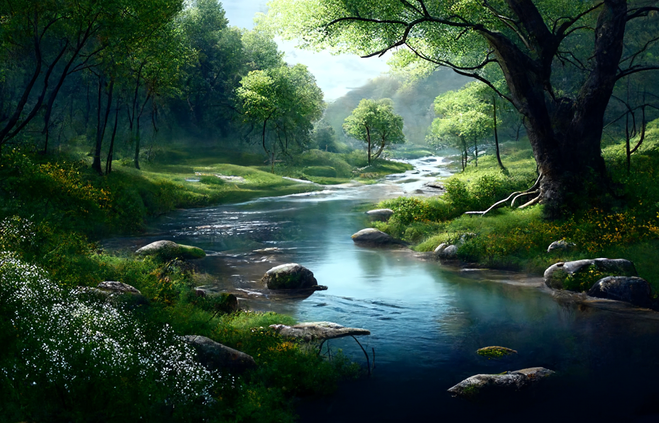
Location: Central Aorlan. The Lorr River, originating in the rugged Carakoros Range, flows southward through diverse terrain. Descending from the mountainous headwaters in the Carakoros Range, numerous fast-moving streams converge to form the river. Continuing its journey, the river flows through foothills adorned with a dense forest of mixed birch, beech, and maple trees. Further downstream, the Lorr River eventually joins forces with the mighty Arn River at Norhaven. This confluence marks the end of the Lorr's independent journey, contributing its waters to the far larger Arn River system.
Physical Characteristics: In the steep and rocky headwaters, the Lorr showcases its untamed nature with small waterfalls and swift rapids, rendering it unnavigable for all vessels. Around the town of Blakrok, the Lorr River becomes navigable for canoes and rowboats, offering travelers a scenic route through the heart of nature. However, challenges persist, as low waterfalls and numerous rapids intermittently impede boat travel along the course and require time consuming portages.
Environment and Ecology: During the icy days of winter, the Lorr River often ices overs for weeks at a time. Flow is highest during spring when snow melt runs down from the Carakoros Range and swells the river's flow. While water levels drop during summer dry periods, the river itself does not run dry.
Hazards and Challenges: With large parts of the river's watershed in wilderness areas, the primary hazard will consist of encounters with wild dangerous beasts such as wolves, worgs, and bears.
Map Index: B-5
Location: Central Aorlan. The Lorr River, originating in the rugged Carakoros Range, flows southward through diverse terrain. Descending from the mountainous headwaters in the Carakoros Range, numerous fast-moving streams converge to form the river. Continuing its journey, the river flows through foothills adorned with a dense forest of mixed birch, beech, and maple trees. Further downstream, the Lorr River eventually joins forces with the mighty Arn River at Norhaven. This confluence marks the end of the Lorr's independent journey, contributing its waters to the far larger Arn River system.
Physical Characteristics: In the steep and rocky headwaters, the Lorr showcases its untamed nature with small waterfalls and swift rapids, rendering it unnavigable for all vessels. Around the town of Blakrok, the Lorr River becomes navigable for canoes and rowboats, offering travelers a scenic route through the heart of nature. However, challenges persist, as low waterfalls and numerous rapids intermittently impede boat travel along the course and require time consuming portages.
Environment and Ecology: During the icy days of winter, the Lorr River often ices overs for weeks at a time. Flow is highest during spring when snow melt runs down from the Carakoros Range and swells the river's flow. While water levels drop during summer dry periods, the river itself does not run dry.
Hazards and Challenges: With large parts of the river's watershed in wilderness areas, the primary hazard will consist of encounters with wild dangerous beasts such as wolves, worgs, and bears.