Amarthesir River
Pronunciation: ammar-THESS-ear
Map Index: C-5, D-4, D-5
Location: Central Aorlan. The headwaters of the Amarthesir River originate in the eastern slopes of the southern Kheleckoros Range. From there the river flow towards northward where it forms the border between Ceodaria and Tauramarth, The Forest of Doom. Finally the river flows into the Mithlonsir River when it reaches the border of Mithtaur.
Primary Population: None
Secondary Population: None
Minor Population: None
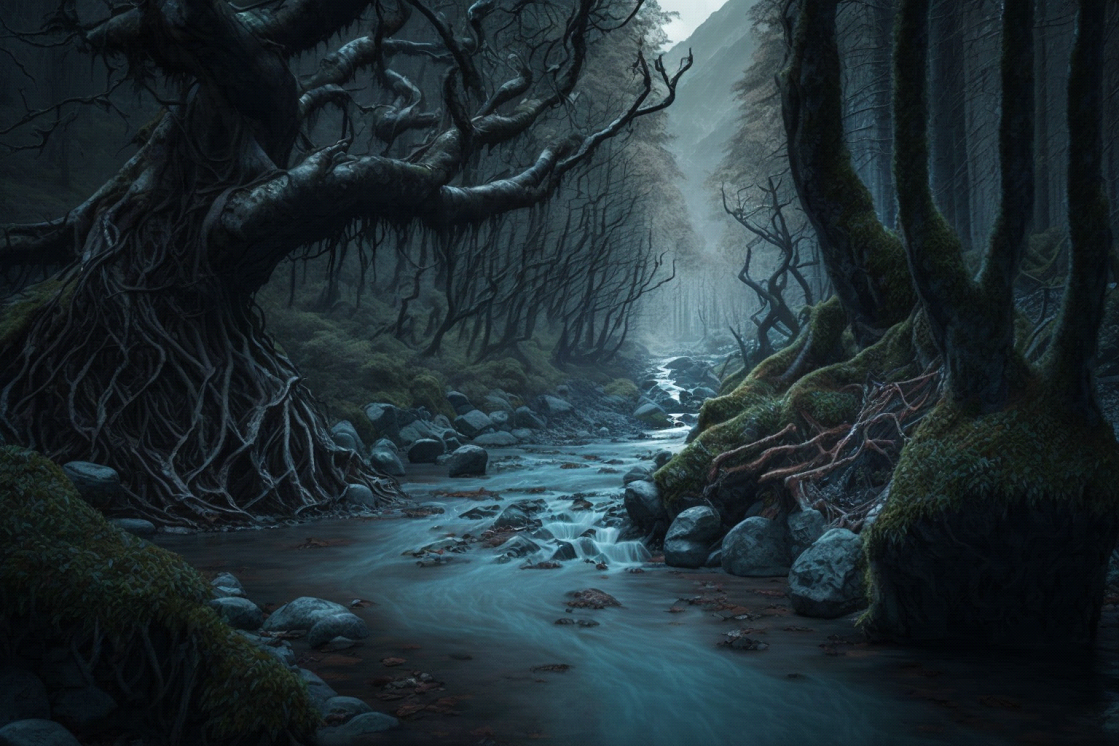
Physical Characteristics: The Amarthesir River is approximately 235 miles in length and in two thirds of this length it can be navigated by canoe or rowboat. Larger river craft cannot be used as the river is too narrow with many small rapids. The river flows swiftly in the upper stretch but begins to slow as it reaches less sloping terrain.
Environment and Ecology: River levels often fluctuate by season. Winter often brings the water level up near the top of the riverbed while the springtime melting of snow in the Kheleckoros Range brings high flows and minor floods. In summer and fall, the river level drops significantly but always maintains a steady flow.
Hazards and Challenges: There are numerous rapids throughout the upper two thirds of the river and several are large and dangerous enough that it becomes neccessary to portage around them.
Travel along the Amarthesir is perilous due to the presence of dangerous creatures inhabiting Tauramarth, The Forest of Doom, and dark faeries aligned with the Unseelie Court. These faeries vehemently oppose outsiders and pose a constant threat to those venturing into their territory, making the river passage fraught with both natural and supernatural dangers.
Map Index: C-5, D-4, D-5
Location: Central Aorlan. The headwaters of the Amarthesir River originate in the eastern slopes of the southern Kheleckoros Range. From there the river flow towards northward where it forms the border between Ceodaria and Tauramarth, The Forest of Doom. Finally the river flows into the Mithlonsir River when it reaches the border of Mithtaur.
Primary Population: None
Secondary Population: None
Minor Population: None
Physical Characteristics: The Amarthesir River is approximately 235 miles in length and in two thirds of this length it can be navigated by canoe or rowboat. Larger river craft cannot be used as the river is too narrow with many small rapids. The river flows swiftly in the upper stretch but begins to slow as it reaches less sloping terrain.
Environment and Ecology: River levels often fluctuate by season. Winter often brings the water level up near the top of the riverbed while the springtime melting of snow in the Kheleckoros Range brings high flows and minor floods. In summer and fall, the river level drops significantly but always maintains a steady flow.
Hazards and Challenges: There are numerous rapids throughout the upper two thirds of the river and several are large and dangerous enough that it becomes neccessary to portage around them.
Travel along the Amarthesir is perilous due to the presence of dangerous creatures inhabiting Tauramarth, The Forest of Doom, and dark faeries aligned with the Unseelie Court. These faeries vehemently oppose outsiders and pose a constant threat to those venturing into their territory, making the river passage fraught with both natural and supernatural dangers.