
Astraia (ah-strey-ah)
Maps
-
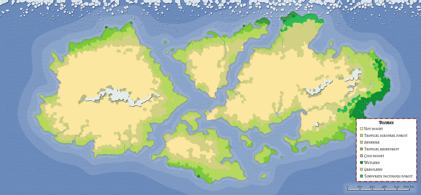
Astraia Global Map
Type
Planet
Location under
Included Locations

Comments